Cruising Atlas for Northwest Waters
Couldn't load pickup availability
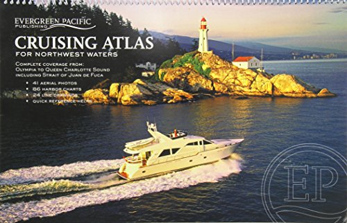
About this book
Cruising Atlas for Northwest Waters by Evergreen Pacific Publishing. Spiral-bound edition. ISBN: 9781934707111.
Its like having eight atlases in one! This large scale, large coverage atlas contains the reproduction of government charts covering from Olympia, WA, to Queen Charlotte Sound (following the inside passage on the east side of Vancouver Island). It consists of 88 overview charts and 86 detailed charts of harbors, bays, coves, inlets, and passages including a two-page chart of Lake Washington. Forty-one aerial photos provide additional navigational help. This atlas, since its much smaller inception in the early 1950s, continues to be a handy reference for anyone who enjoys the waters of the Pacific Northwest.