Bird's Eye Views: Historic Lithographs of North American Cities
Regular price
$99.25 USD
Regular price
Sale price
$99.25 USD
Unit price
per
Shipping calculated at checkout.
Couldn't load pickup availability
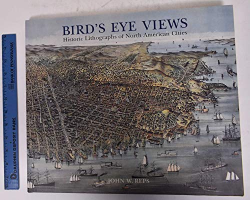
As new towns and cities spread across the American frontier in the nineteenth century itinerant artists soon followed documenting these growing urban centers by drawing aerial perspectives also known as birds eye views. Commissioned by land speculators local businesses civic organizations and individual citizens these renderings fostered both civic pride and local commerce. The use of color lithography a recent invention popularized by such prominent publishers as Currier & Ives allowed the inexpensive reproduction of the highest-quality drawings so that a birds eye view was within the financial budget of even the smallest towns. These extraordinarily detailed lithographs eventually numbered in the thousands and now serve as a rich pictorial record of North America as it stood a century ago. This sequel to our highly acclaimed title An Atlas of Rare City Maps collects over 100 views dating between 1835 and 1902 showing the streets buildings churches bridges waterways and surrounding countryside of North American towns ranging from burgeoning metropolitan centers to small logging towns and mining camps. Baltimore Brooklyn Denver Indianapolis Memphis Montreal New Orleans Pittsburgh Seattle Syracuse and Washington are just a few of the cities presented in this collection. The exquisite color and fine detail of these birds eye views have been reproduced in all their original glory; also included is an introduction by John W. Reps providing a background on the artistic process and on urban development in the nineteenth century.
Product details
- Publisher
- My Store
- Publication date
- December 1, 1998
- ISBN-10
- 1568981465
- ISBN-13
- 9781568981468
- Item Weight
- 63.2 oz
- Dimensions
- 15.0 × 0.75 × 12.76 in